Where to take landscape pictures in Bay Area?
Bay Area is a beautiful place with amazing landscapes. From mountains to the ocean, it got it all. Here are my top 10 places to take landscape pictures in the San Francisco Bay Area.
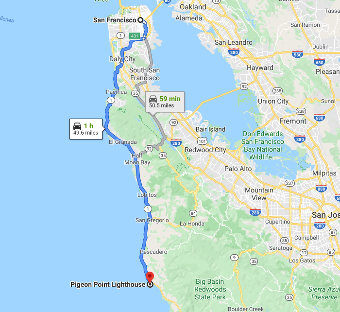
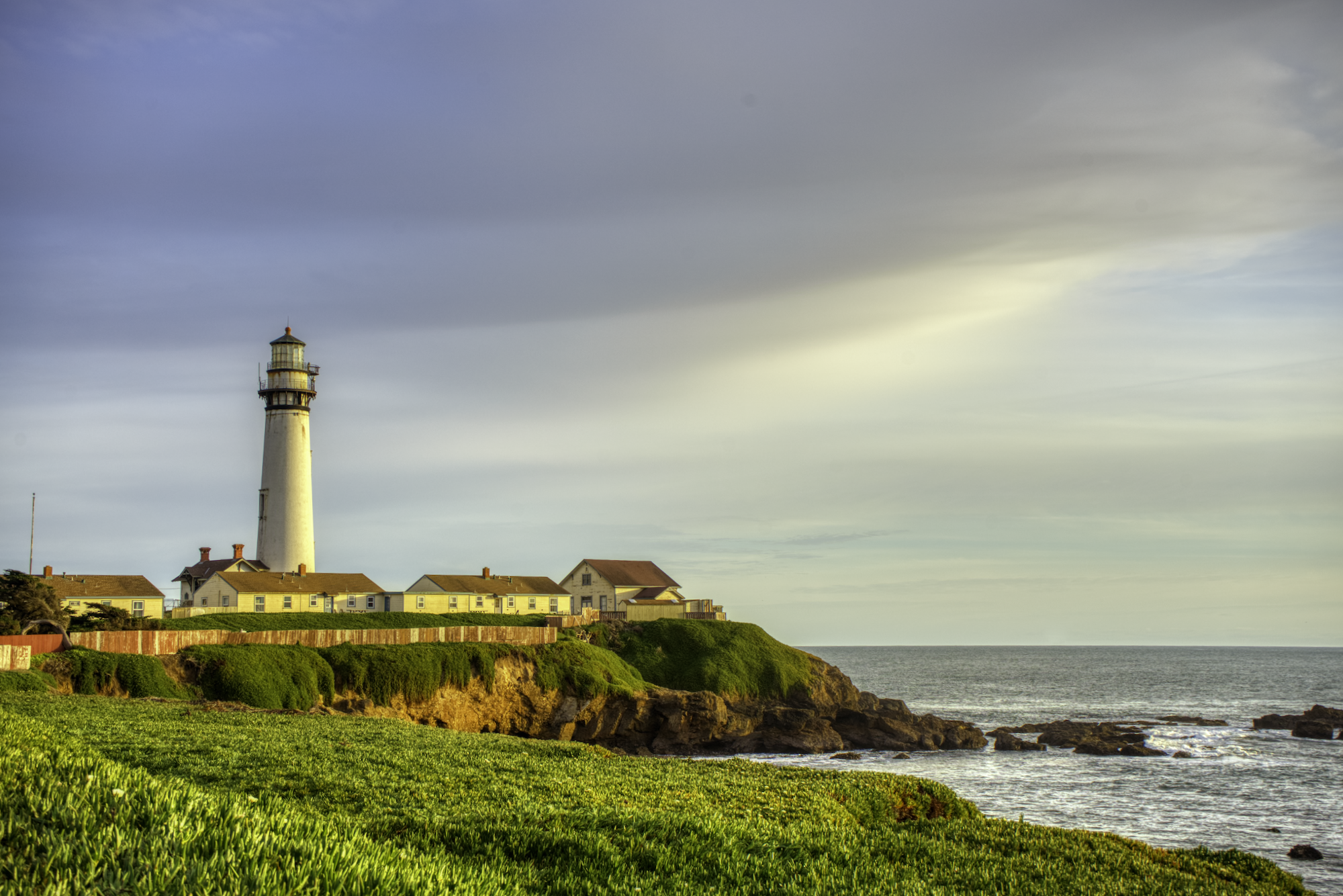
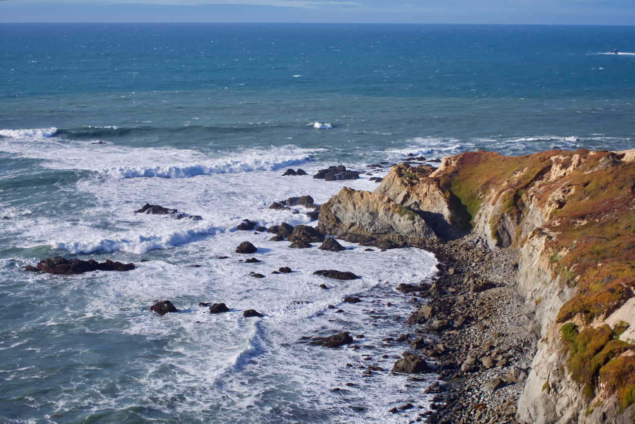
1. Pigeon Point Lighthouse
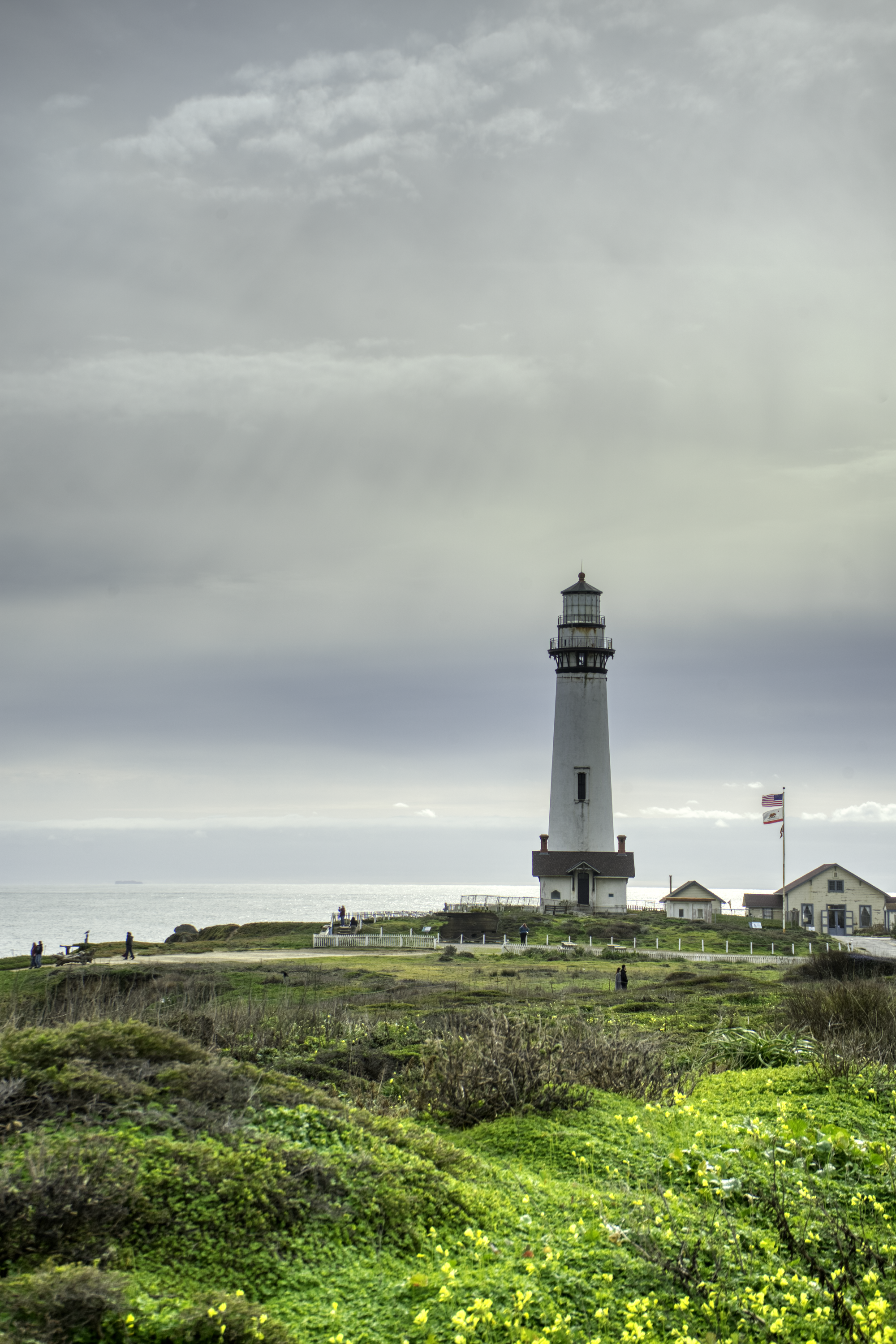
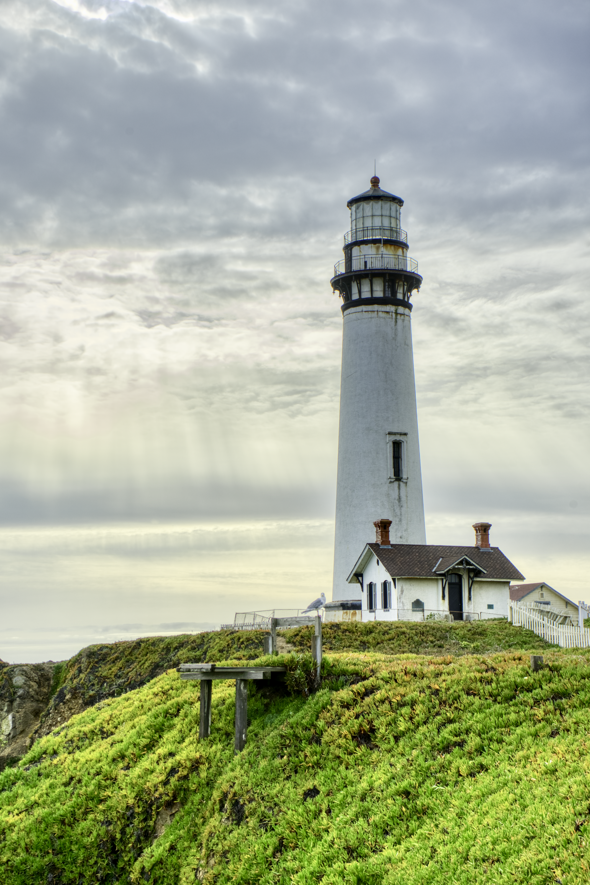
Pigeon Point Lighthouse is one-hour drive from San Francisco past Pescadero Beach. The lighthouse has been around for almost 200 years.
The lighthouse and the cliff form the perfect composition to take a lighthouse picture. The surrounding area is rich with life. It is also a great spot to take seascape pictures. Try some long-exposure shot at the crashing waves!
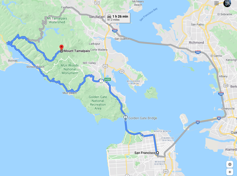
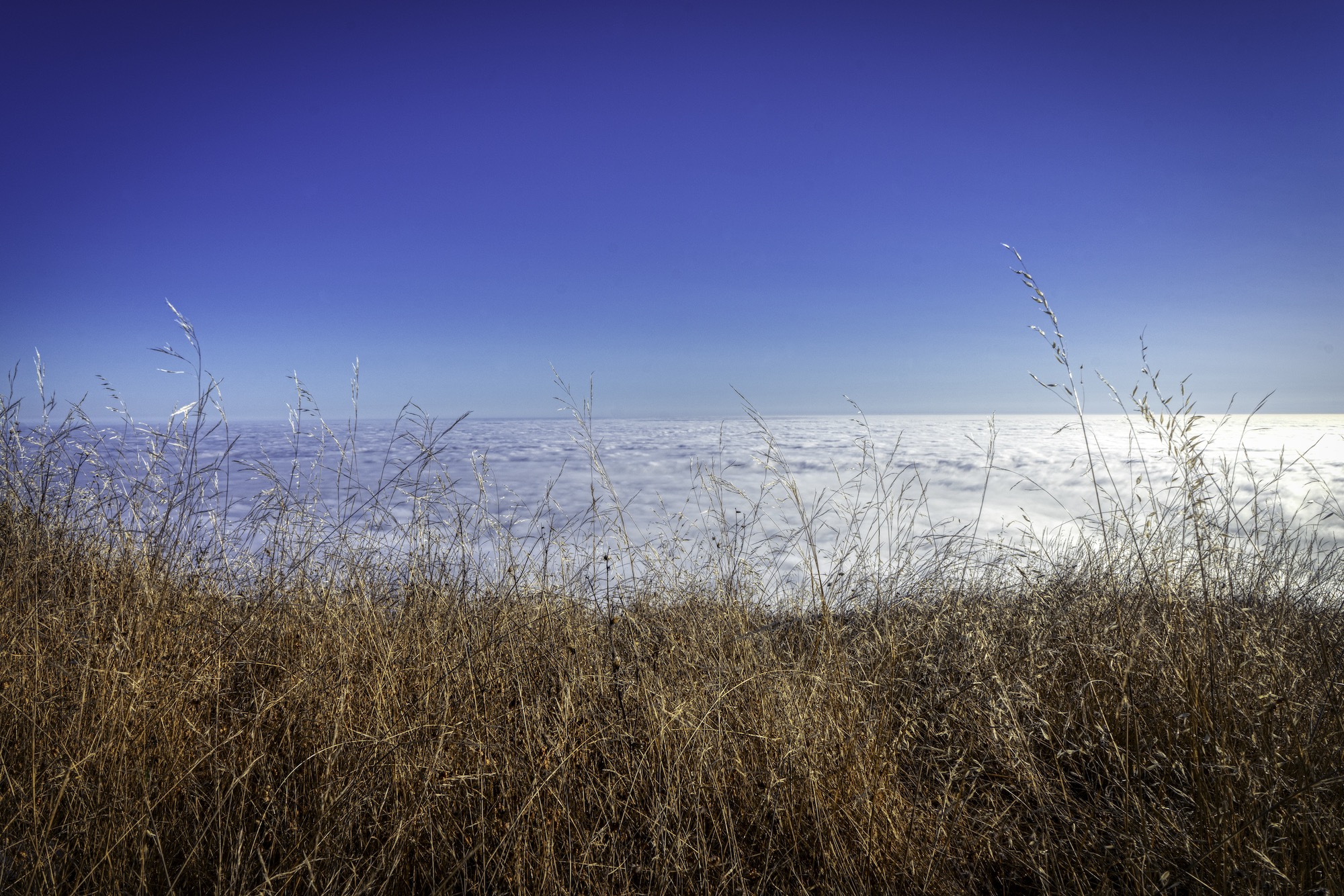
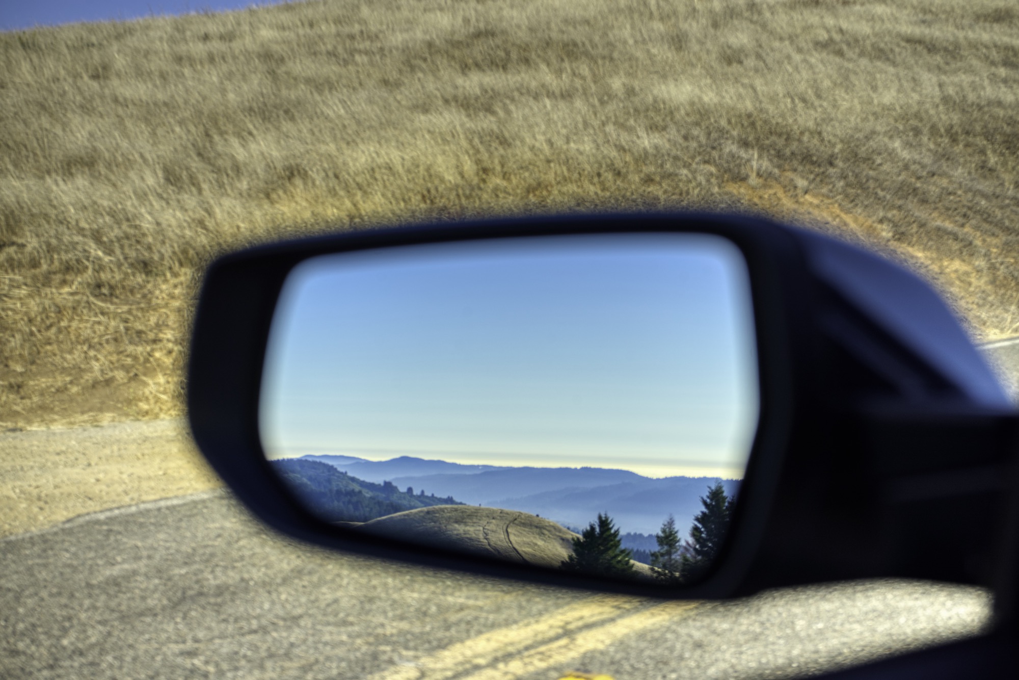
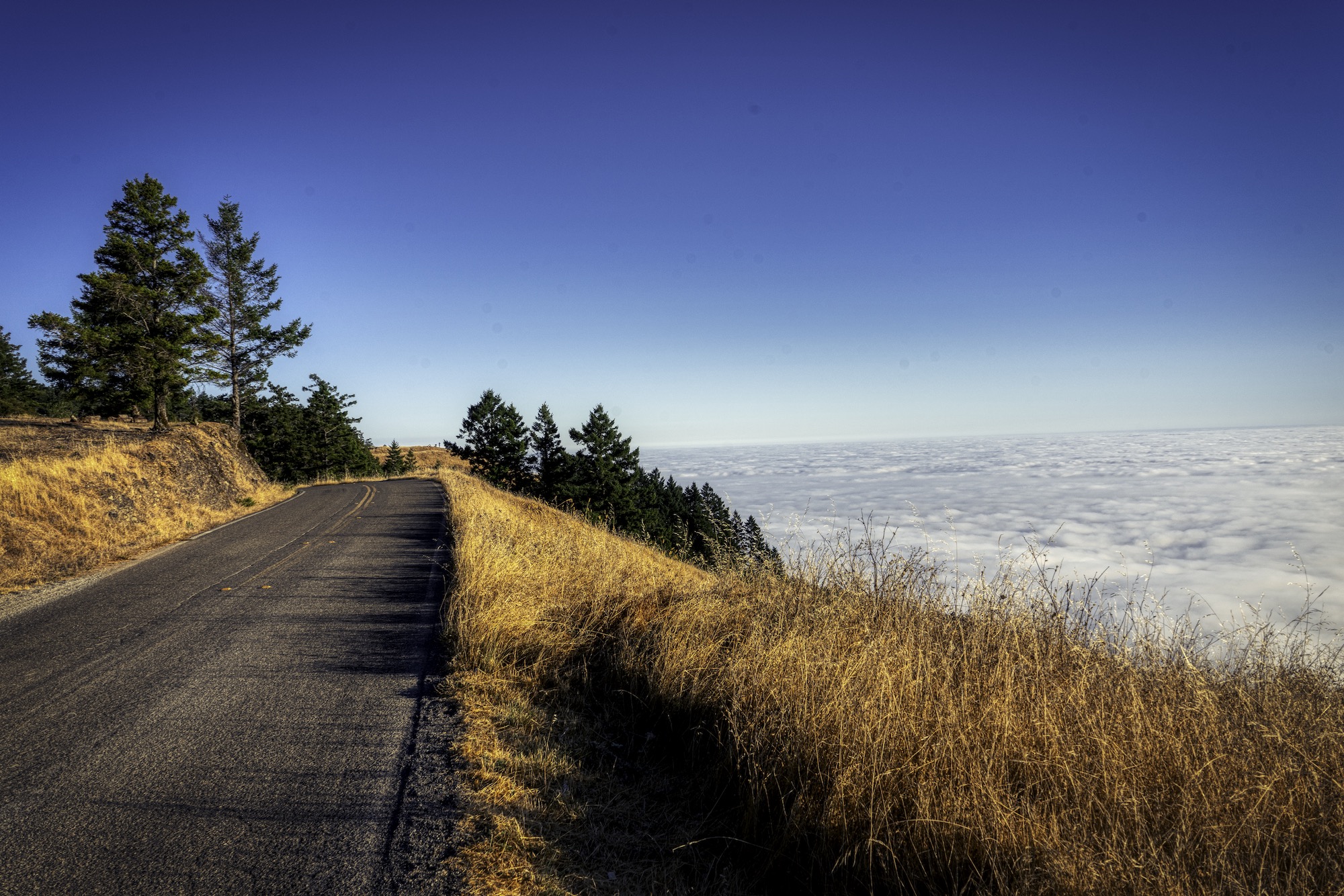
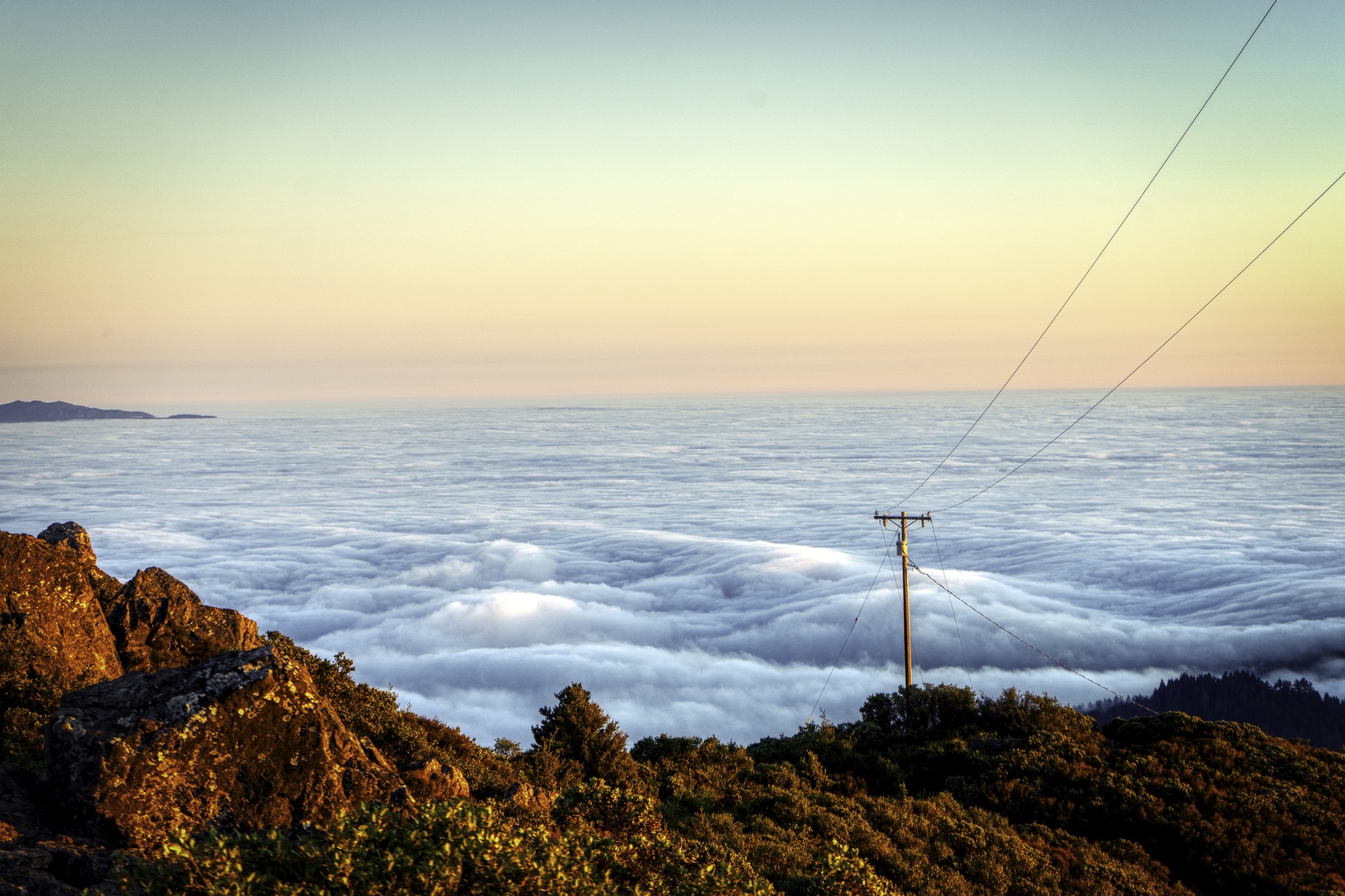
2. Mt Tamalpais
Mount Tamalpais is a peak in Marin County, slightly north of San Francisco, often considered symbolic of Marin County. Its name, first recorded in 1845, is said to be derived from a Miwok word meaning “Sleeping Maiden”, on the grounds that the silhouette of the mountain can be seen as the shape of a sleeping girl.
The best time to visit is around August, when fog encompasses the city. You will feel like walking in the heaven with clouds beneath your feet. It is truly a magical place.
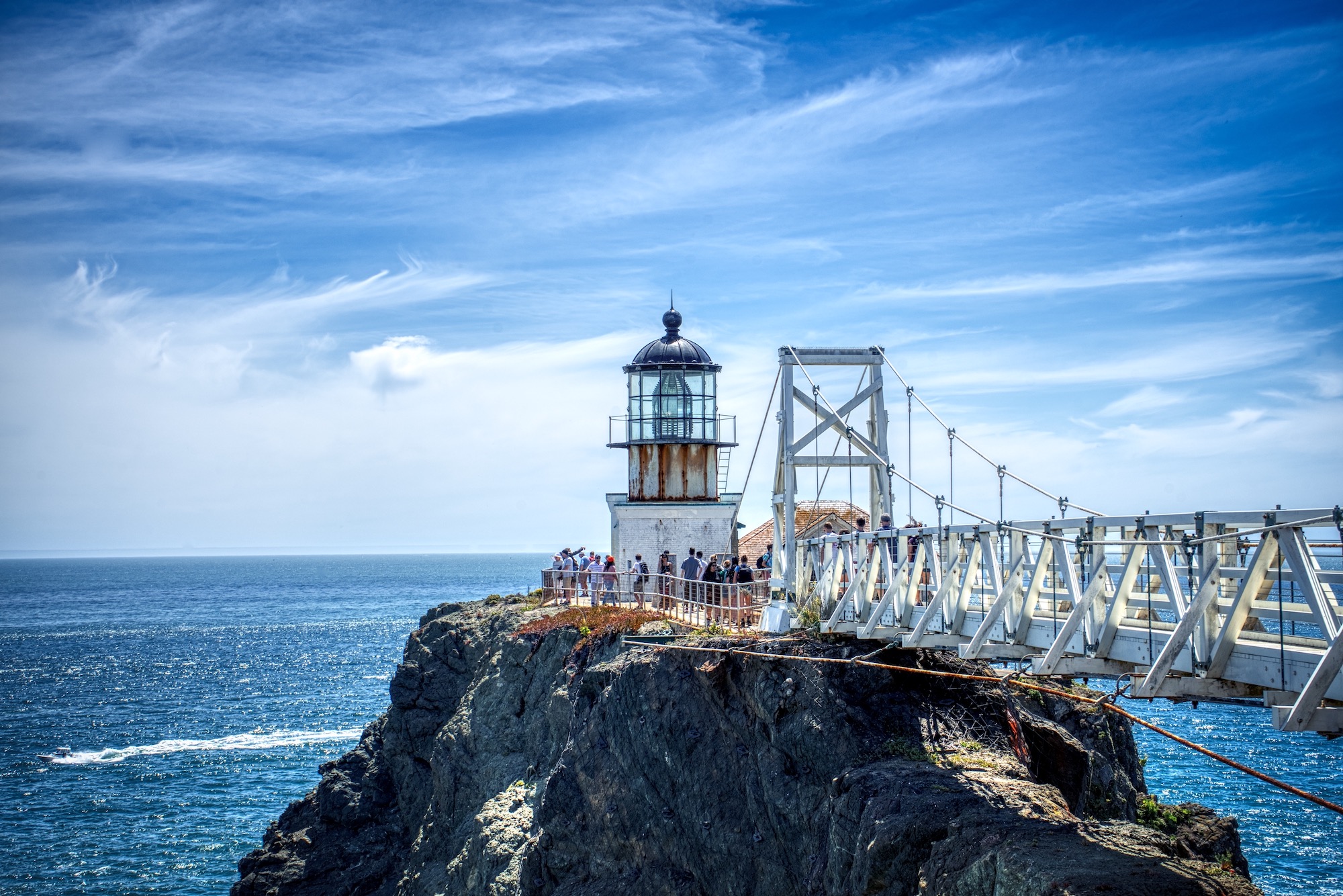
3. Point Bonita Lighthouse
Point Bonita Lighthouse was the last manned lighthouse on the California coast, located 11 miles north of San Francisco. The lighthouse is accessed by a suspension bridge. It is only open on Sundays and Mondays.
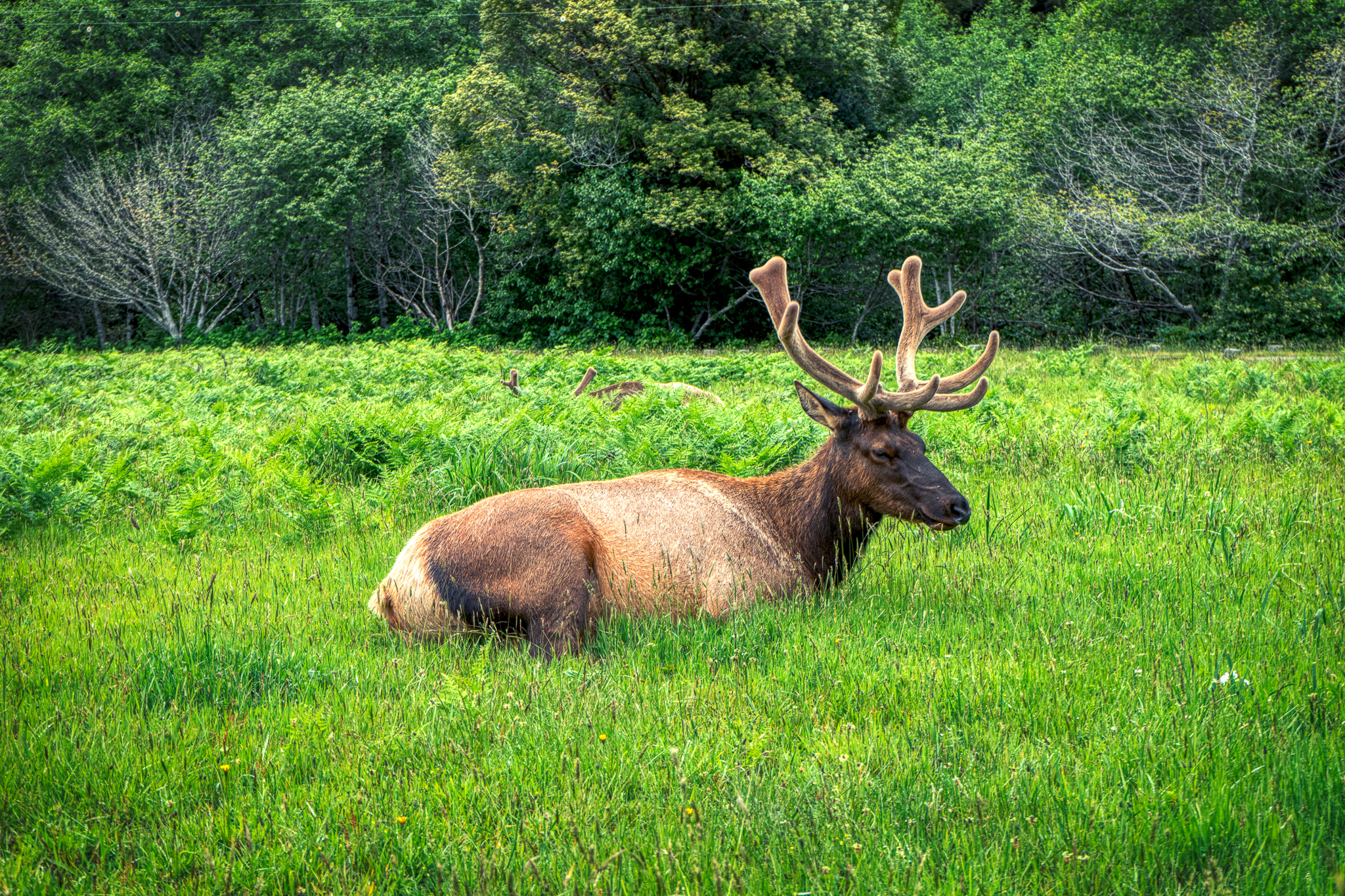
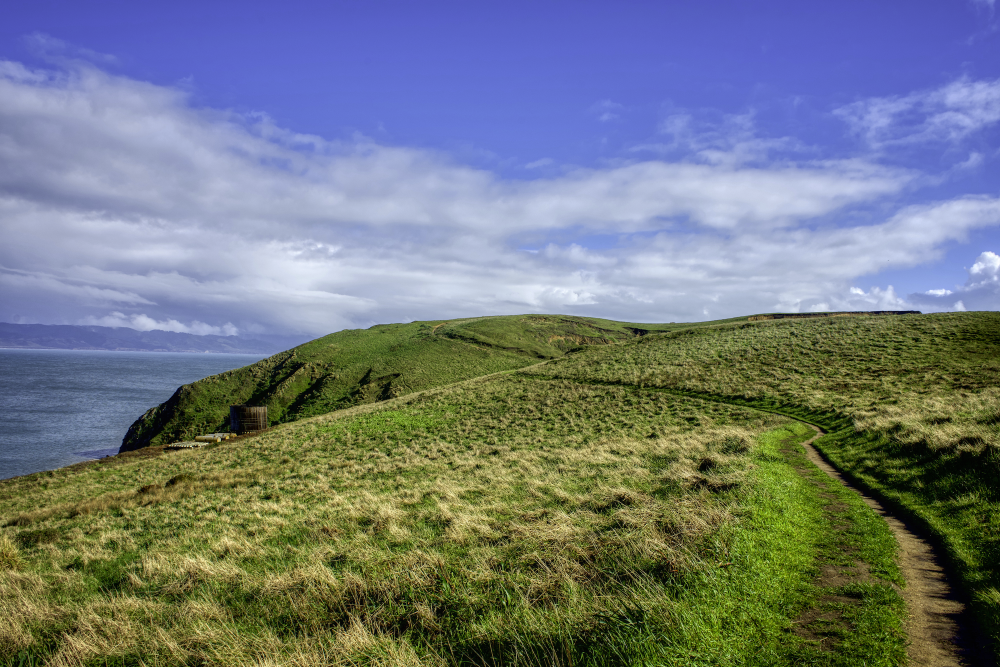
4. Point Reyes National Seashore
Point Reyes National Seashore is a large reserve covering 71,000 acres. There are many places that you can go, such as the Point Reyes Lighthouse, Cypress Tree Tunnel, and Chimney Rock Trail.
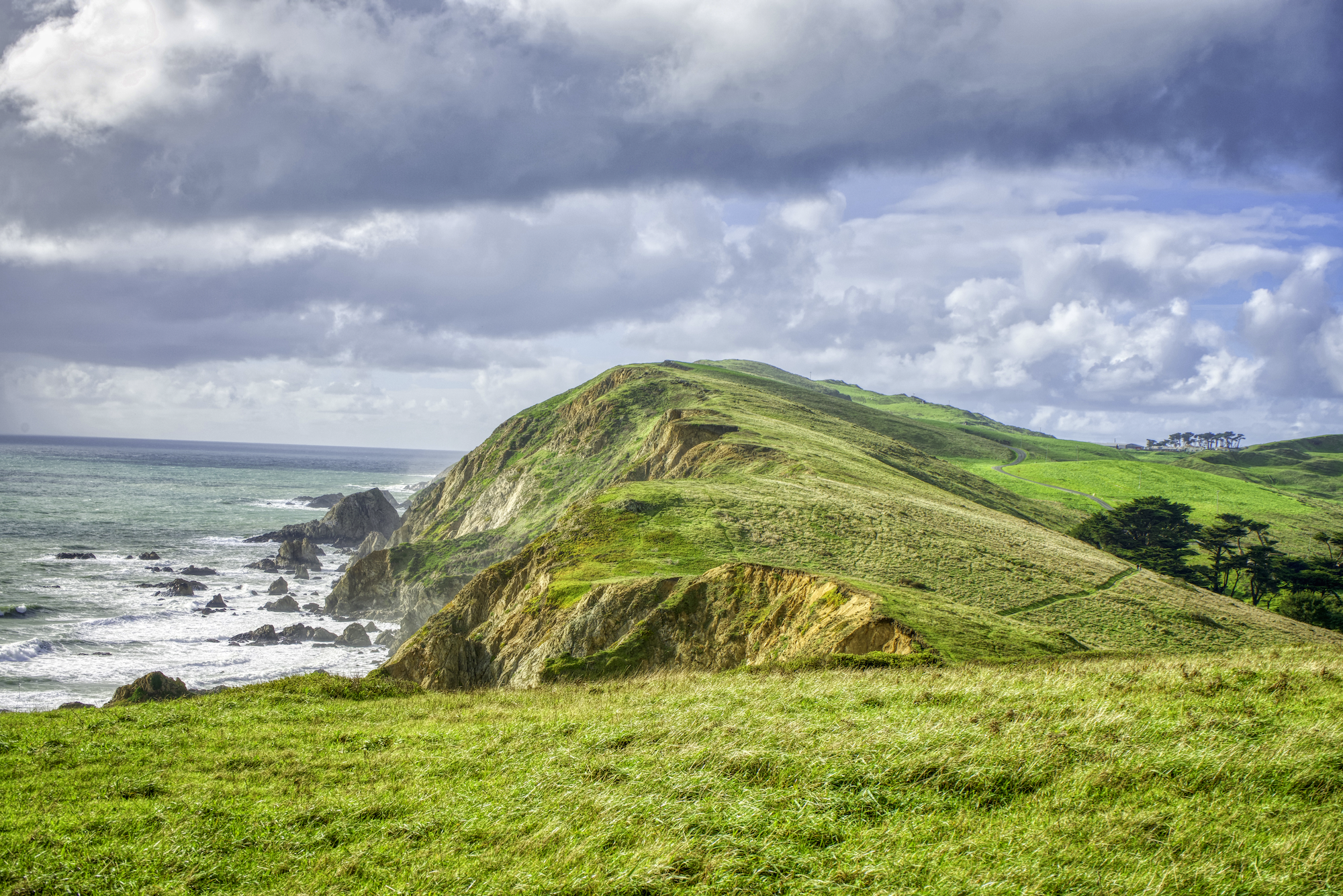
Chimney Rock Trail
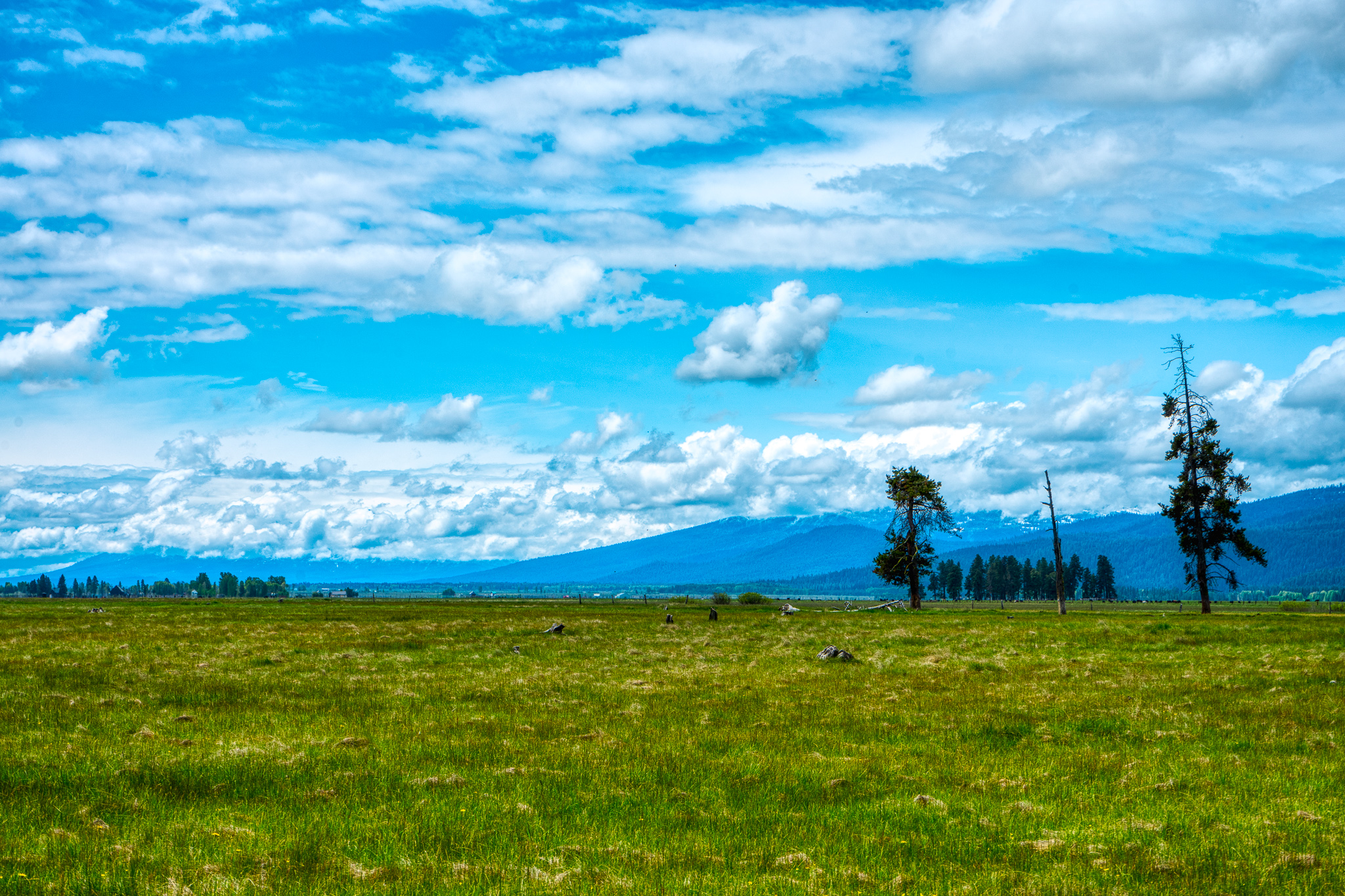
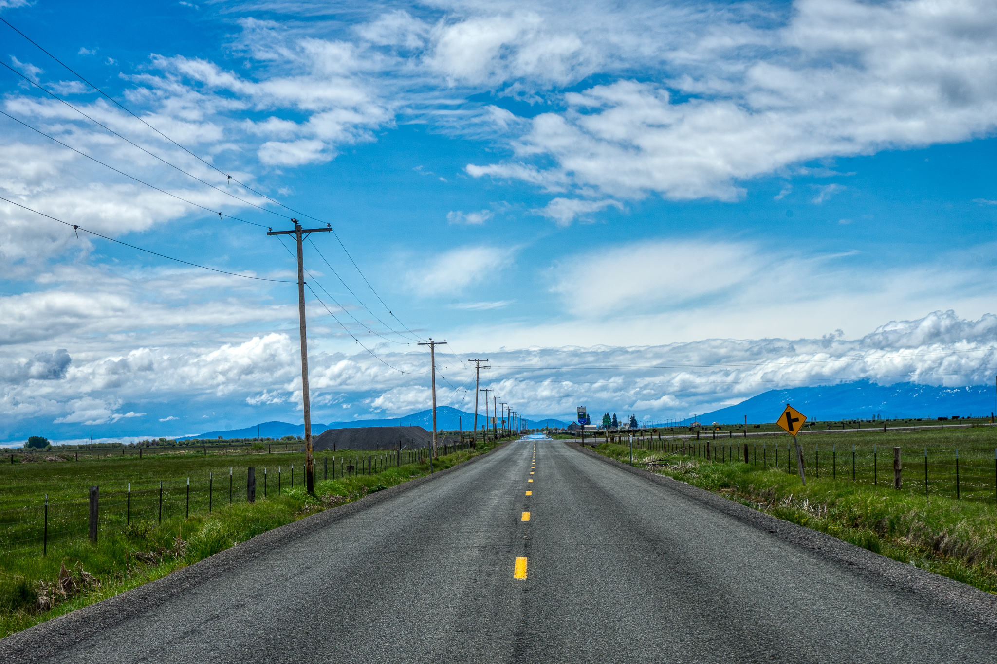
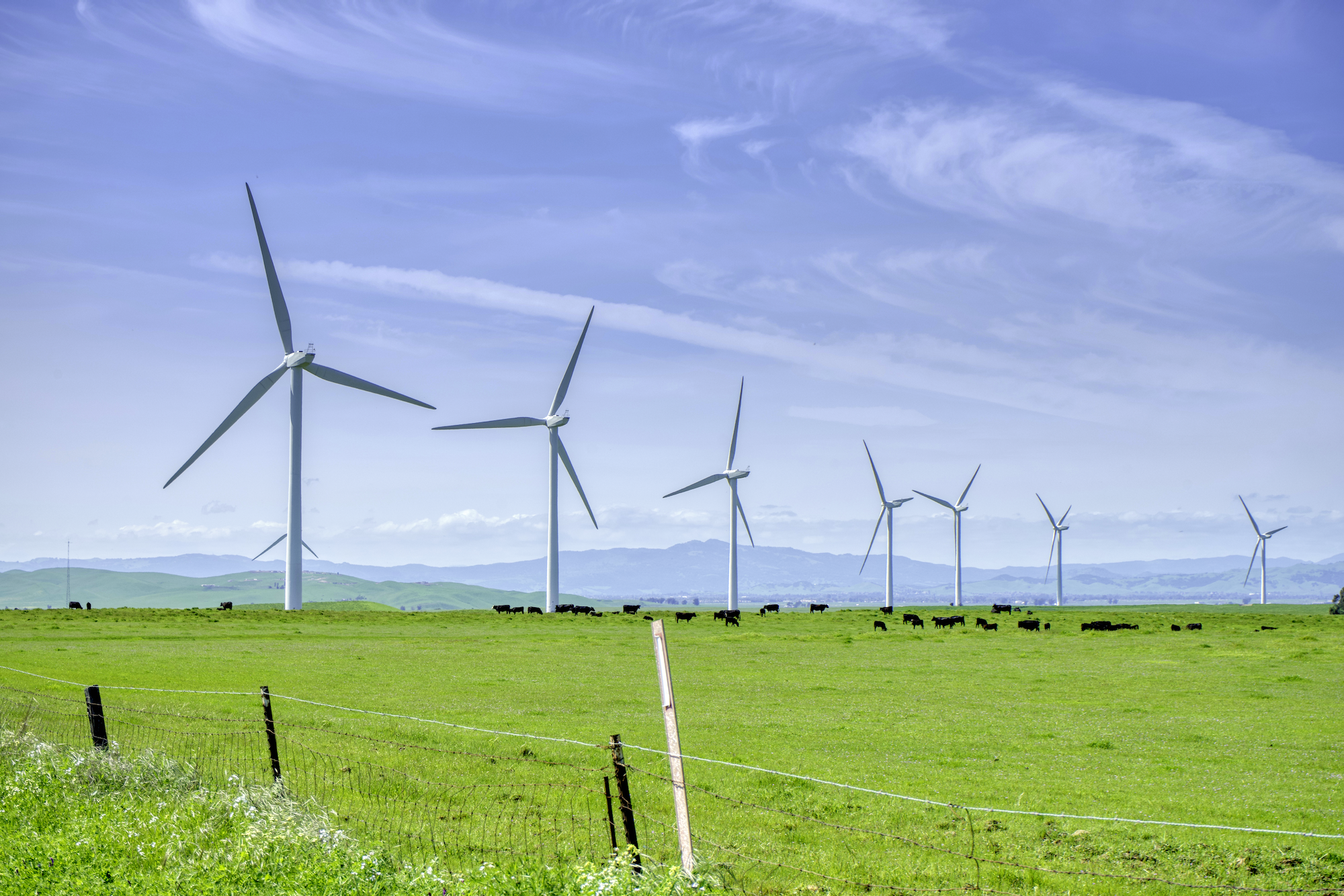
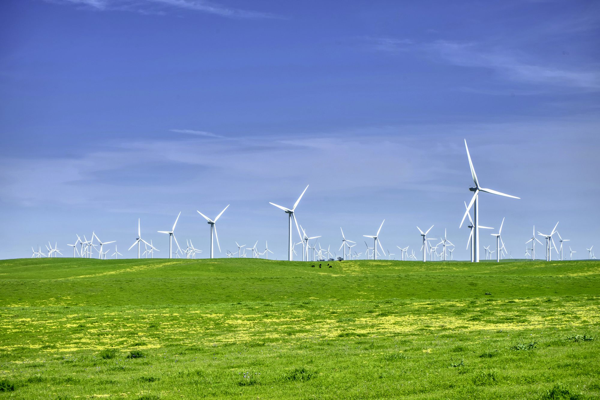
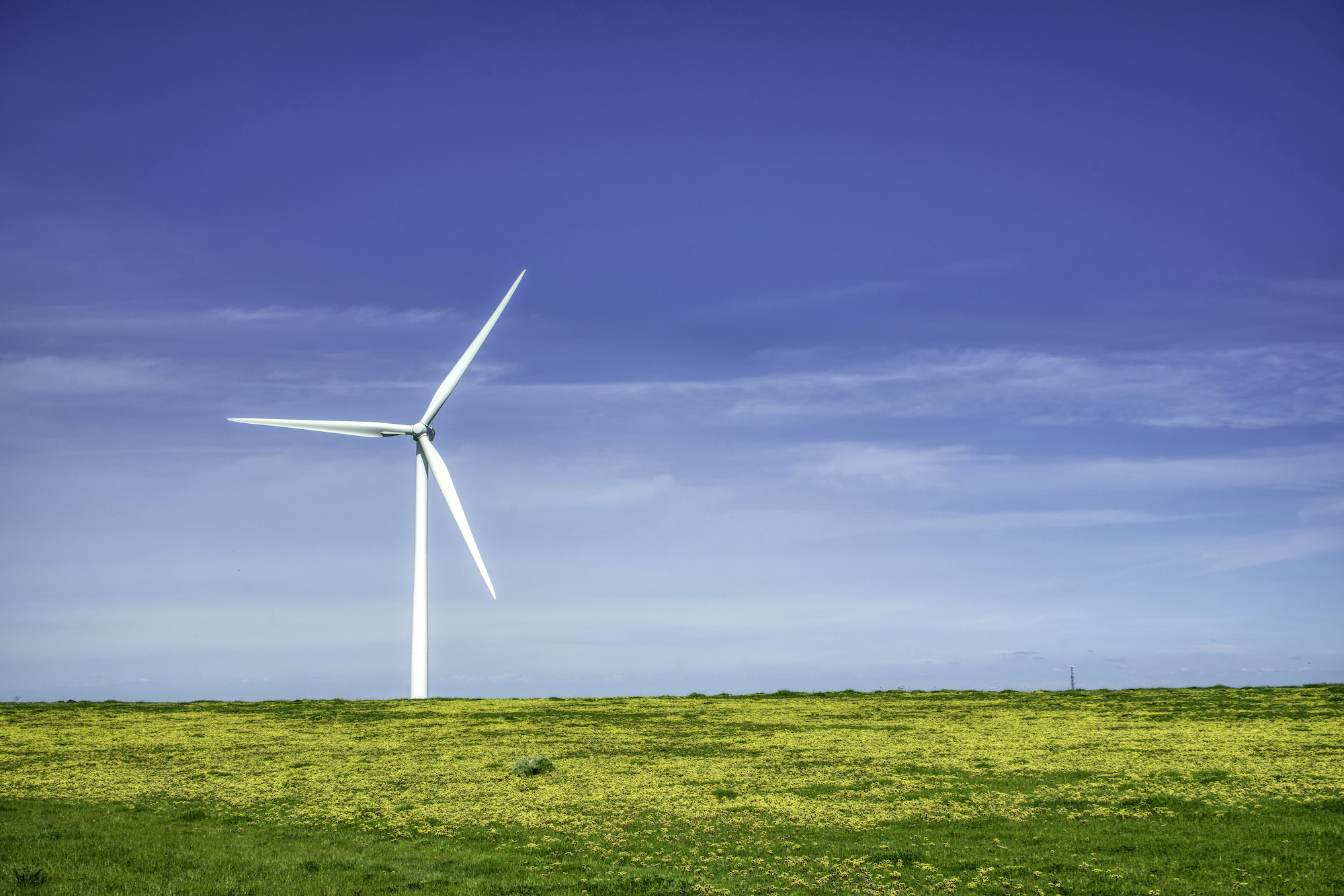
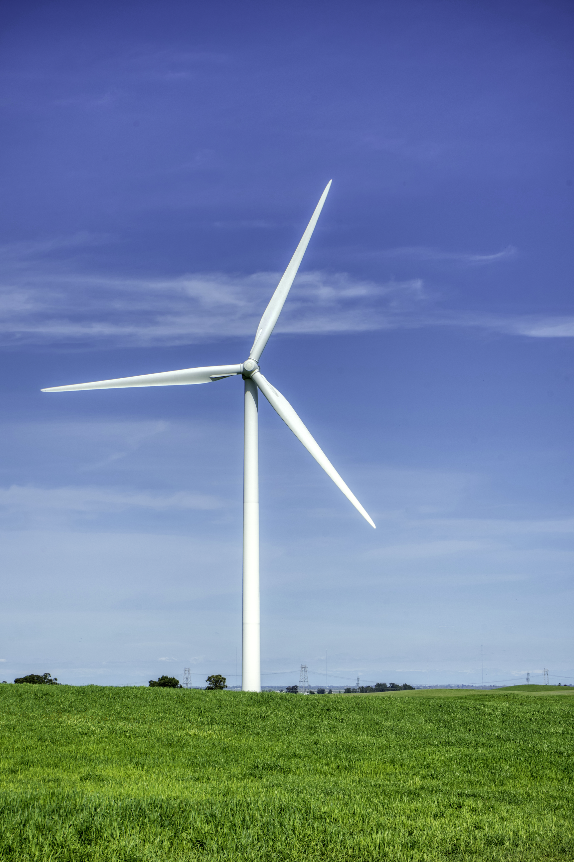
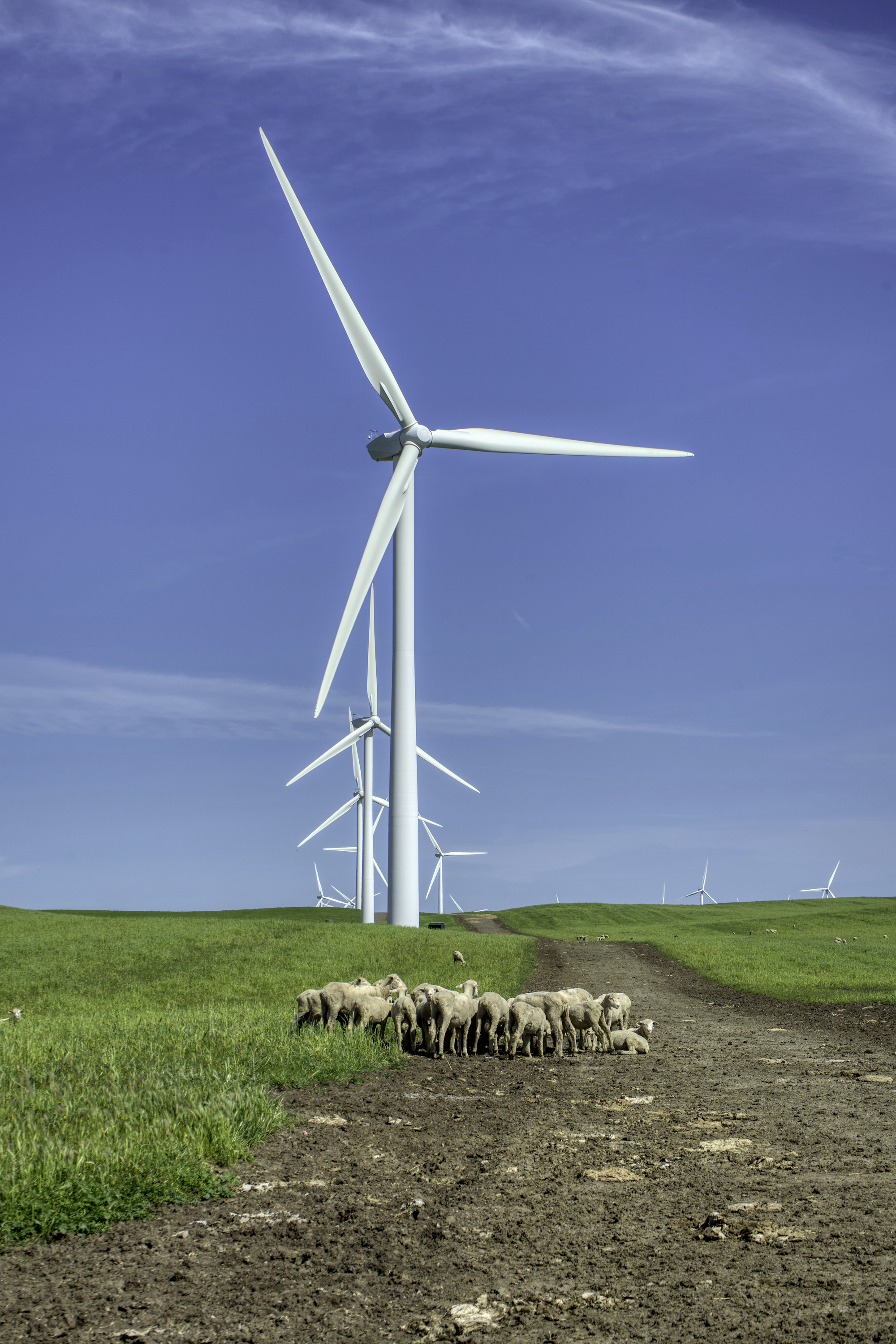
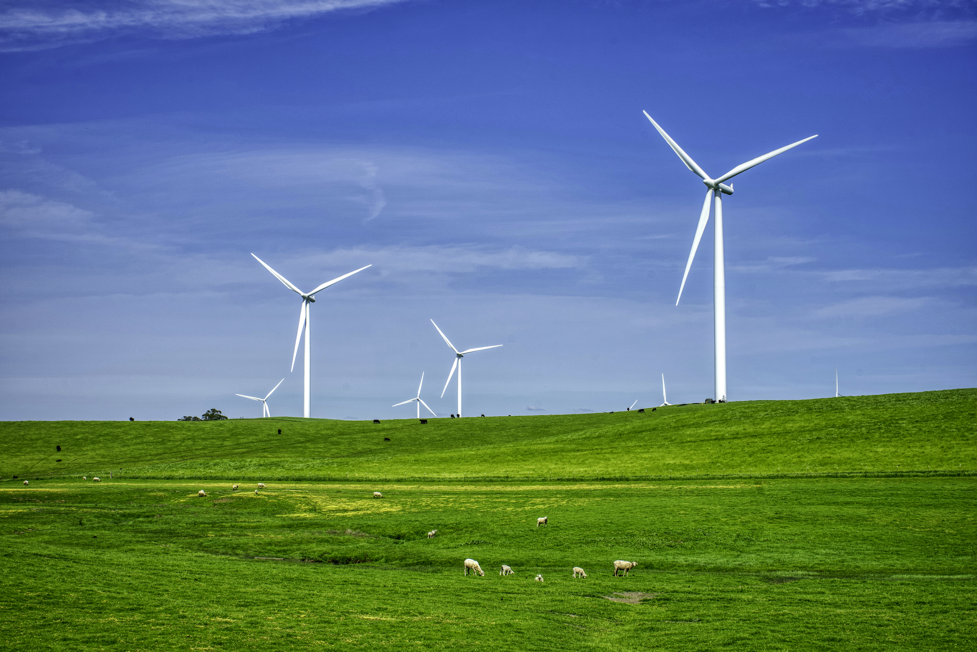
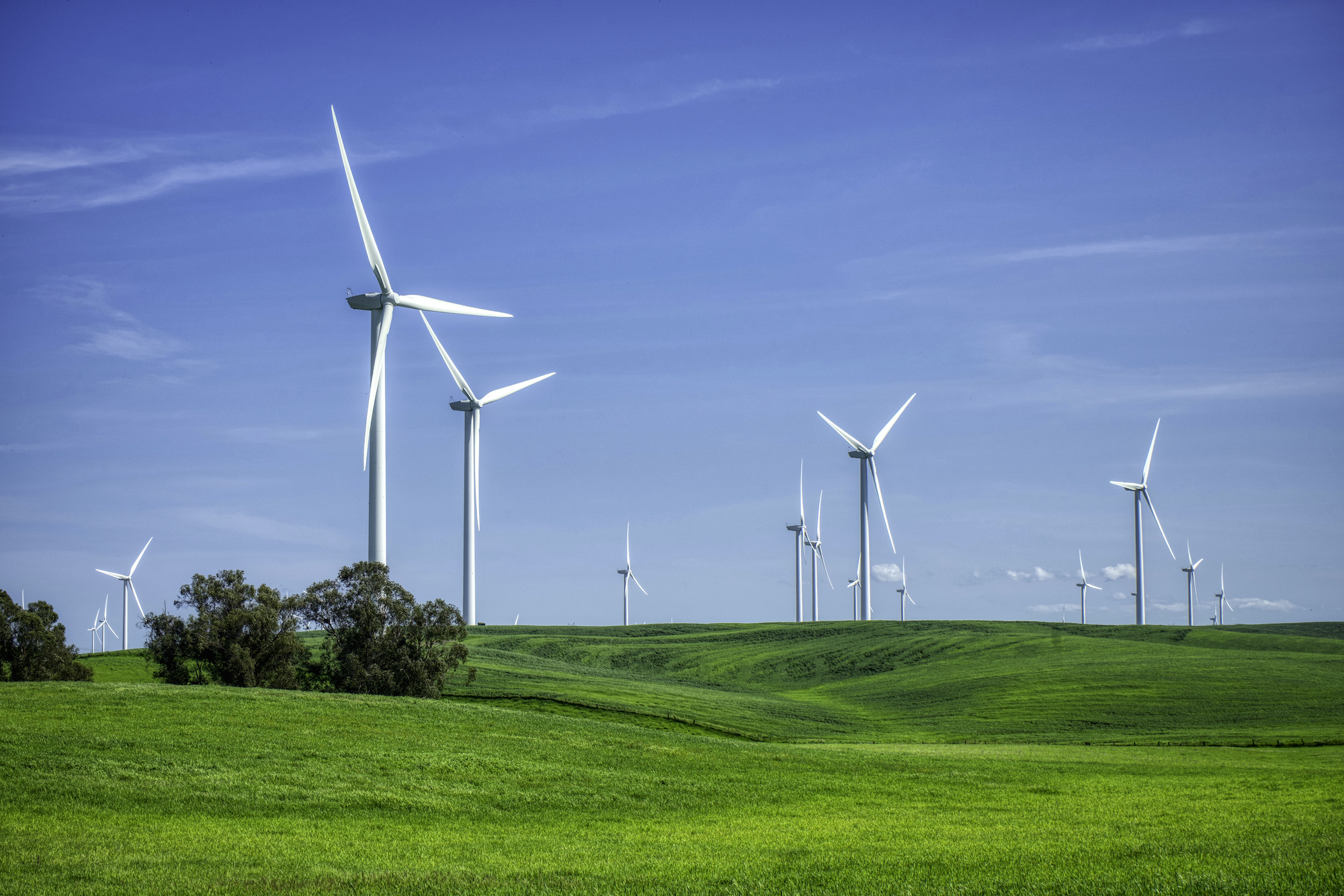
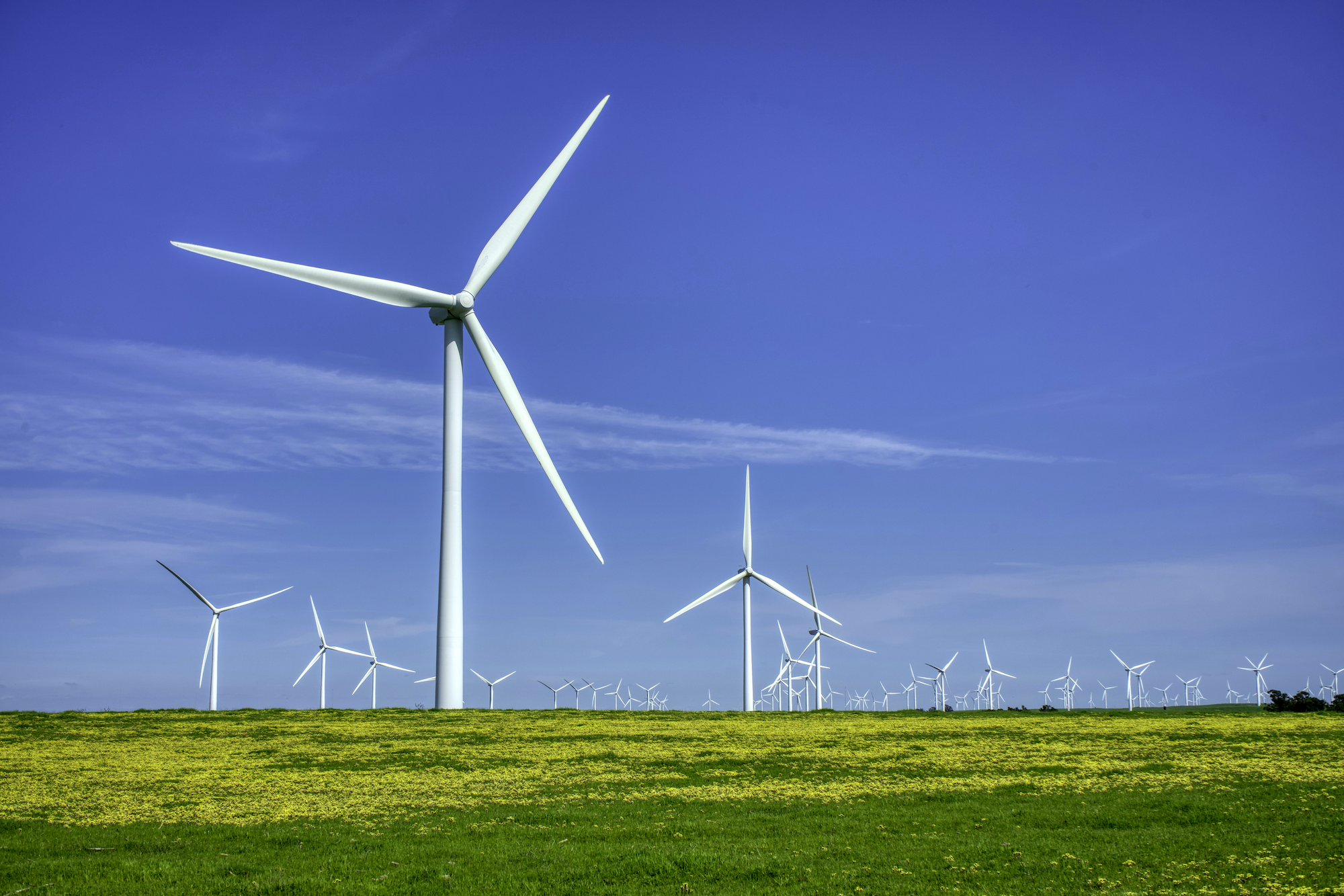
5. Windfarm at Bird Landing
This is my secret photo spot in Bay Area. There is a large windfarm between Sacramento and Mt Diablo. It is so quiet. You almost see no one. There are cattle and sheep farms dotted in this vast landscape, with towering wind turbines stand in silence. You will find peace and relaxation at this place.
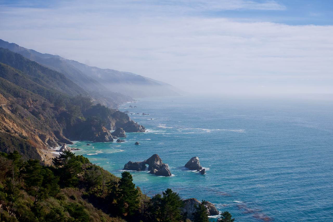
6. Big Sur
Big Sur represents the quintessential California costal view. With crashing waves and weathering rocks, you will be naturally drawn into the beauty of the Pacific Ocean. It is vast and deep. It can be calm or violent. No one will doubt the power of the ocean. Although there are better known spots on the California 1 highway, the real beauty can be found anywhere. I recommend just start driving and stop when you find the perfect picturesque spot.
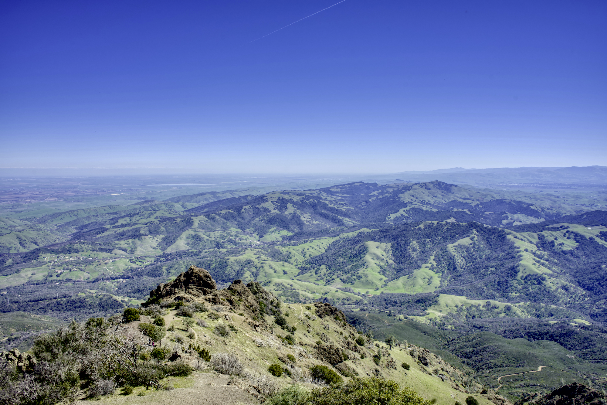
7. Mt Diablo
Mt Diablo is one of the tallest peaks in California. Its isolated peak of 3849 feet is visible from most of the San Francisco Bay Area. The best time to visit is after the rain season in Winter, when the hills are covered by new grass.
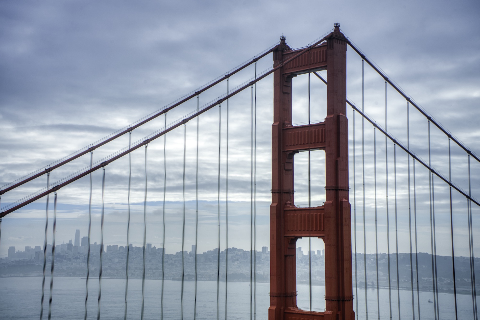
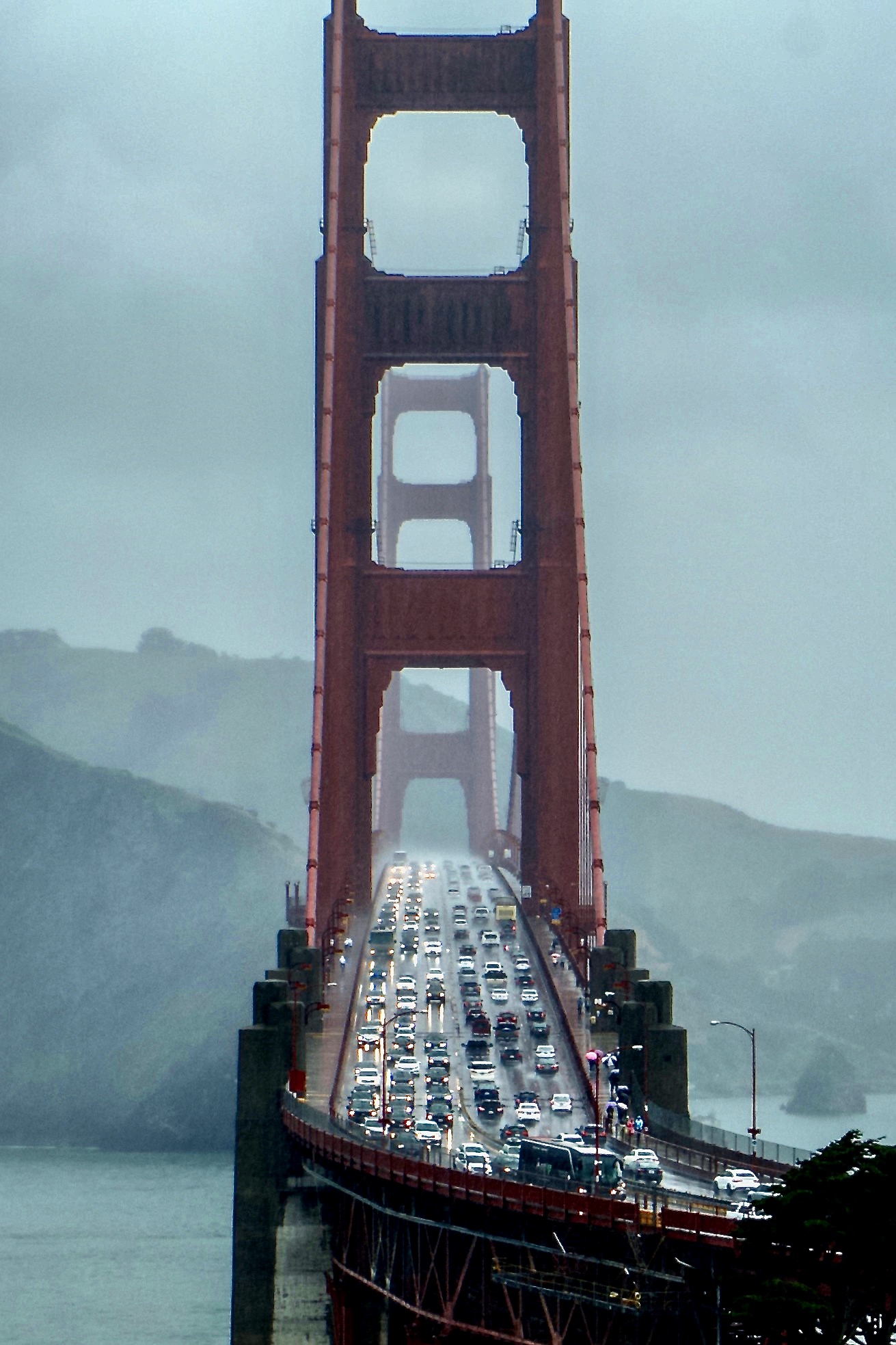
8. Golden Gate Bridge
Well, you just can’t visit San Francisco without visiting the Golden Gate Bridge. There are two locations where you can take pictures of the famous bridge: Marin Headlands in the north or the area surrounding Langdon Court Parking lot in the south.
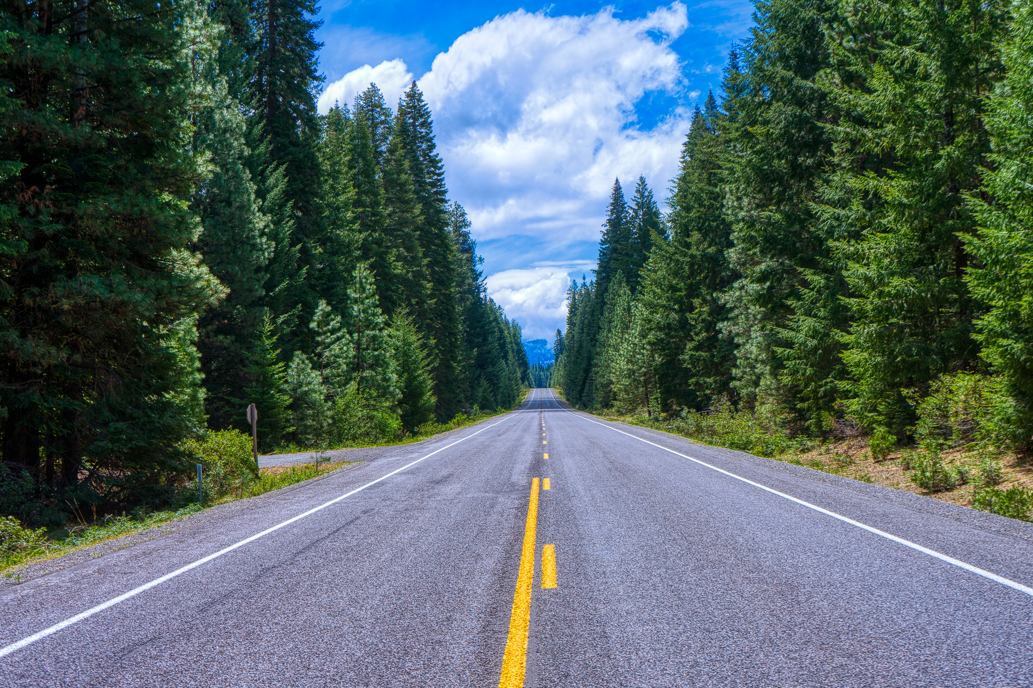
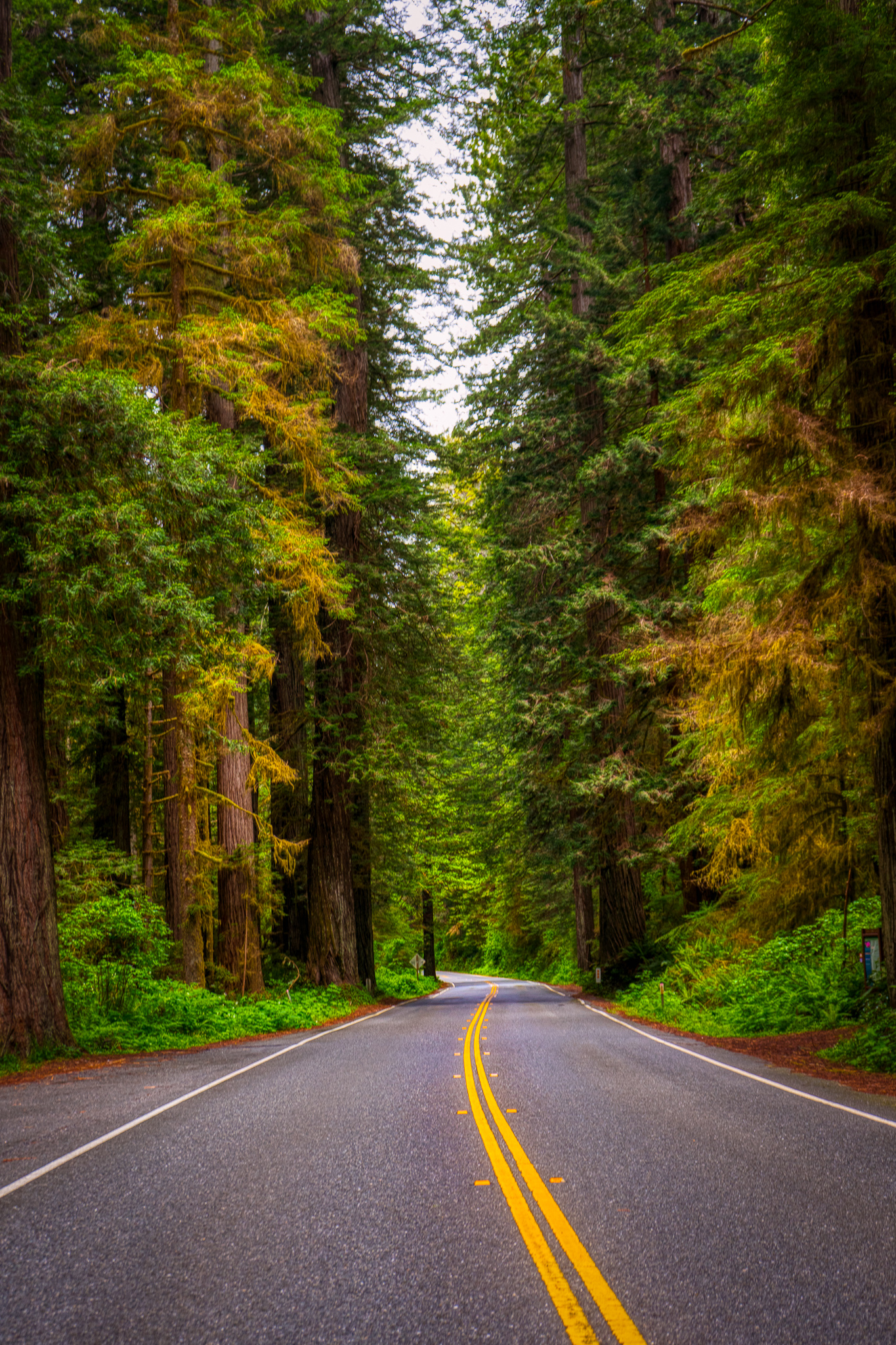
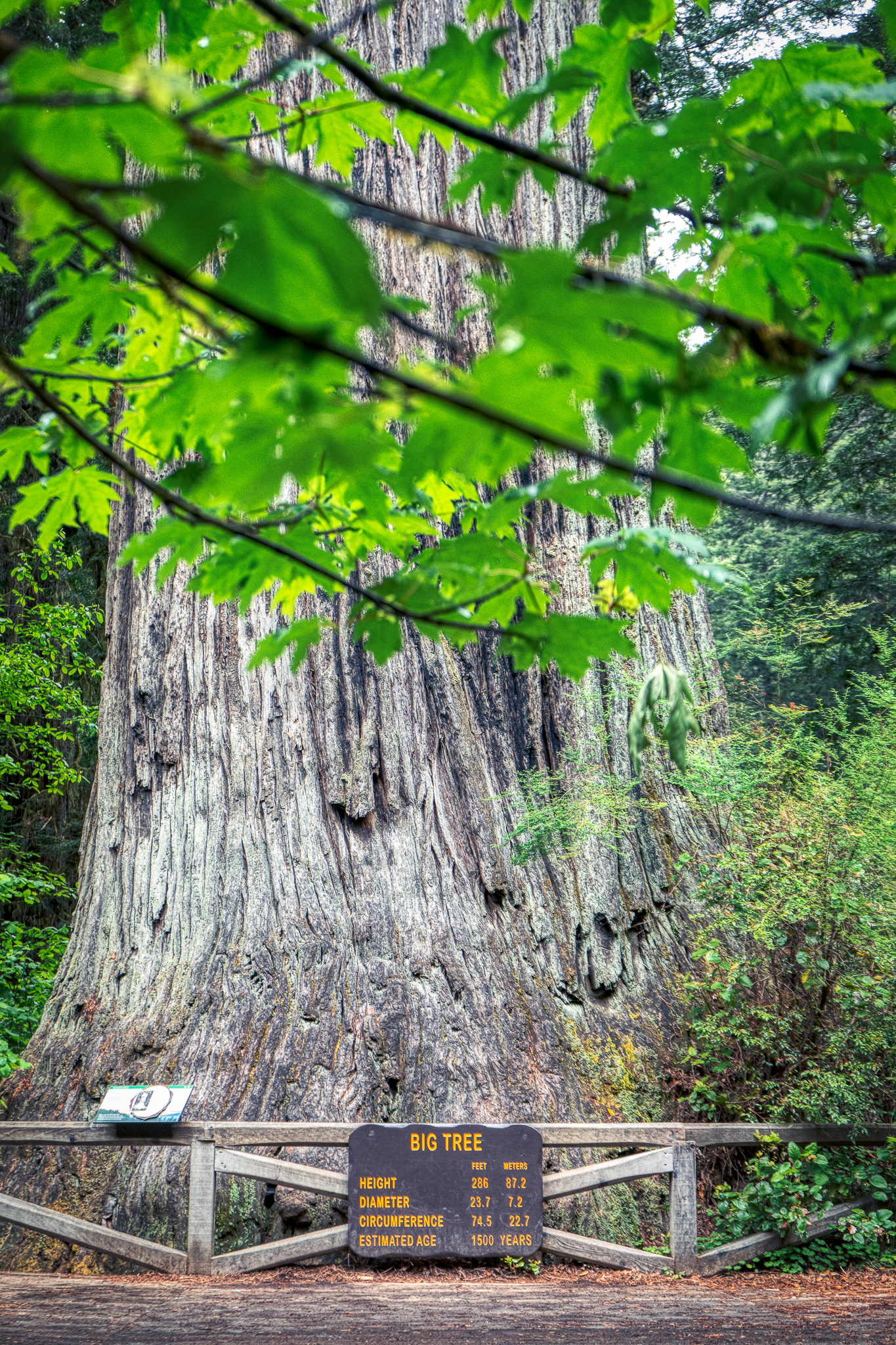
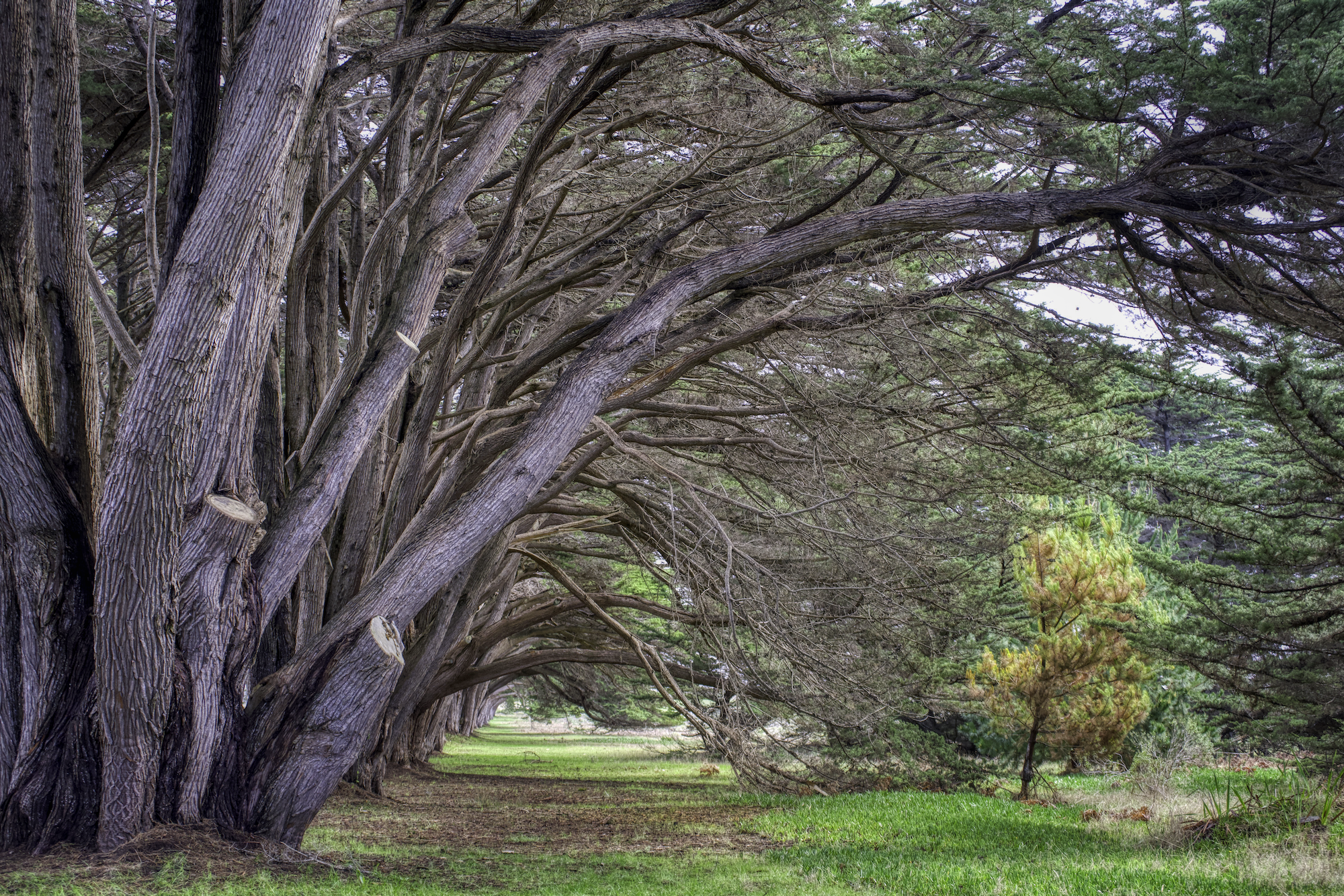
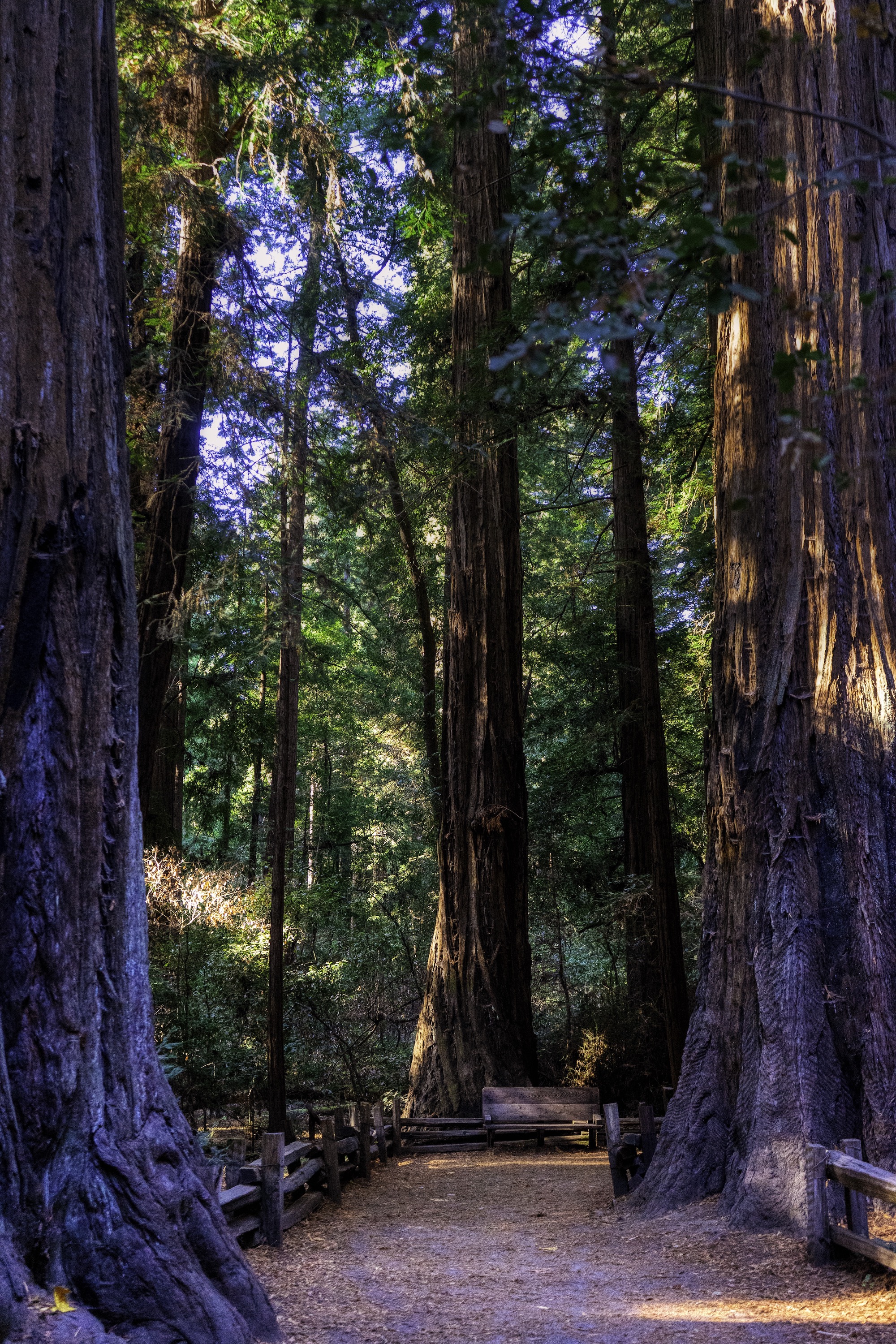
9. Henry Cowell State Park
A lot of people go to the Muri Woods National Monument north of San Francisco. There is a cheaper and less crowded place called Henry Cowell Redwoods State Park. During the 1830s and 40s, when California was still part of Mexico, large land grants were created, called “ranchos”. Industrialist Henry Cowell purchased 6,500 acres of the former Rancho Cañada del Rincon en el Rio San Lorenzo, including 1,600 acres (6 km2) of forest, in 1865. In 1954, philanthropist Samuel Cowell, aged 90, last of the Cowell line, donated the rest of what became the Henry Cowell Redwoods State Park.
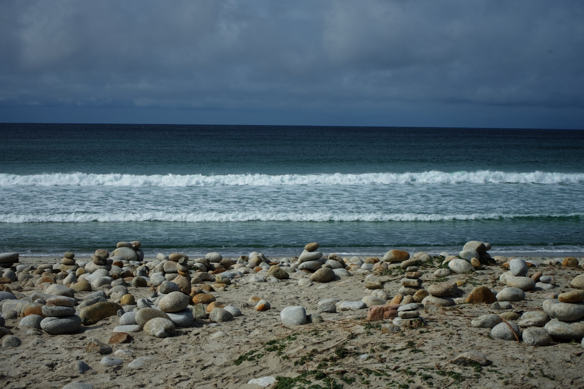
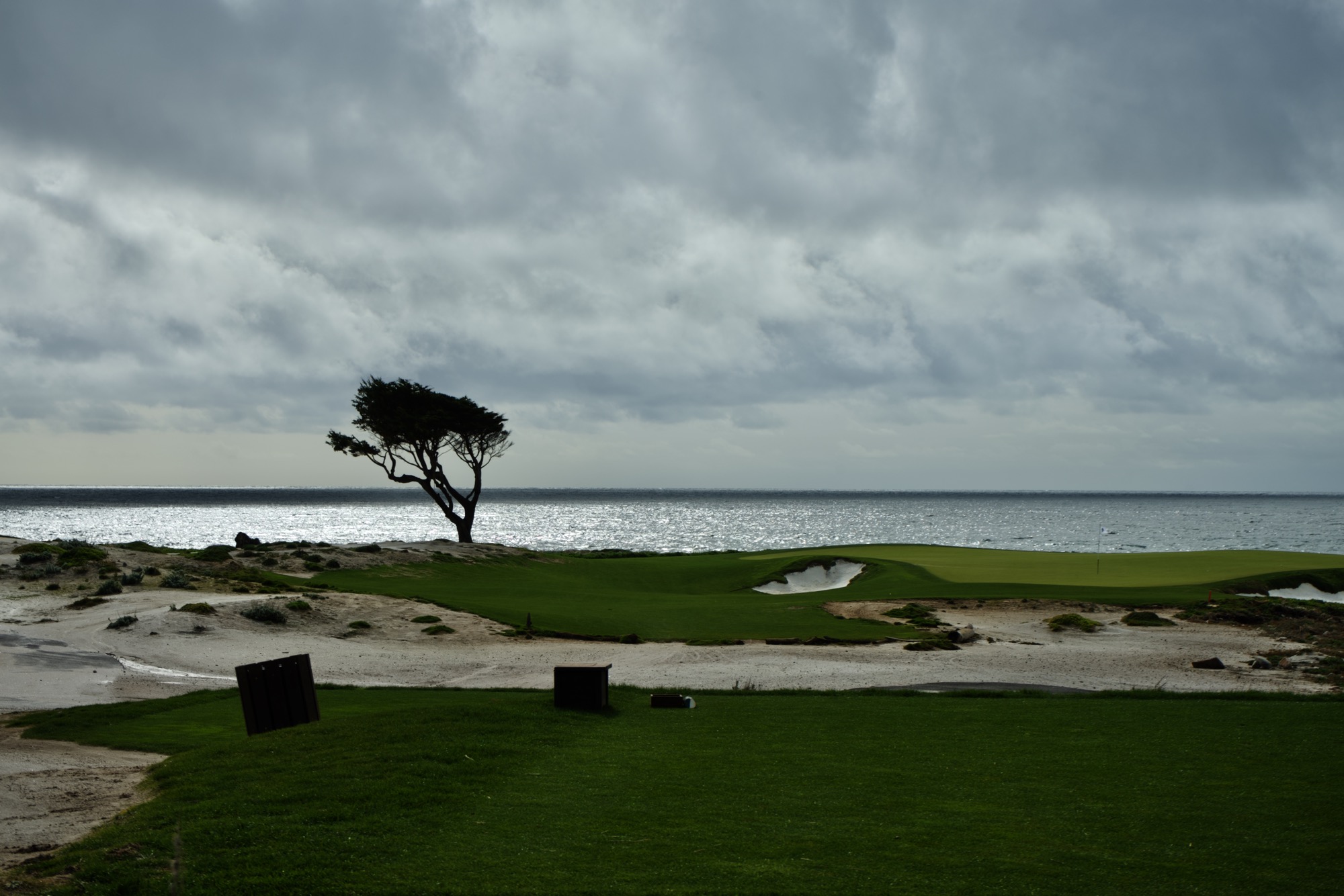
10. Carmel-by-sea
Carmel-by-sea is a nice weekend-getaway. There is the 17-mile scenic drive and you can relax yourself at one of the restaurants in the town.